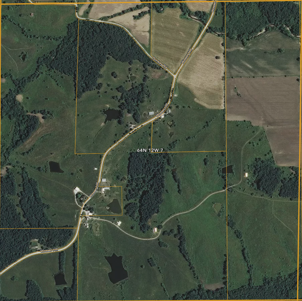
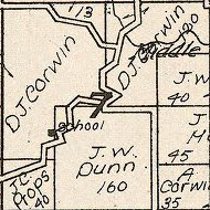
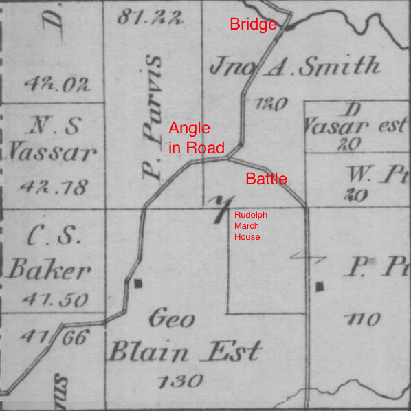
Plat Maps of Scotland County, Missouri, various eras, Range 64 North, Township 12 West, Section 7.
Time Machine Plat Maps
Select desired comparison from top thumbnails, and drag the slider to fade between new and old Plat maps. Scroll maps up and down as desired.